
Clearing the land of vegetation for agriculture can often mean salty landscapes and salt lakes as well as salty ground water that flows into the River Murray. The felling of billions of trees (approximately 15 billion) to make room for the farming in the Murray-Darling Basin, which has led to economic growth and national prosperity, has caused, in just 150 years, a salinity crisis.
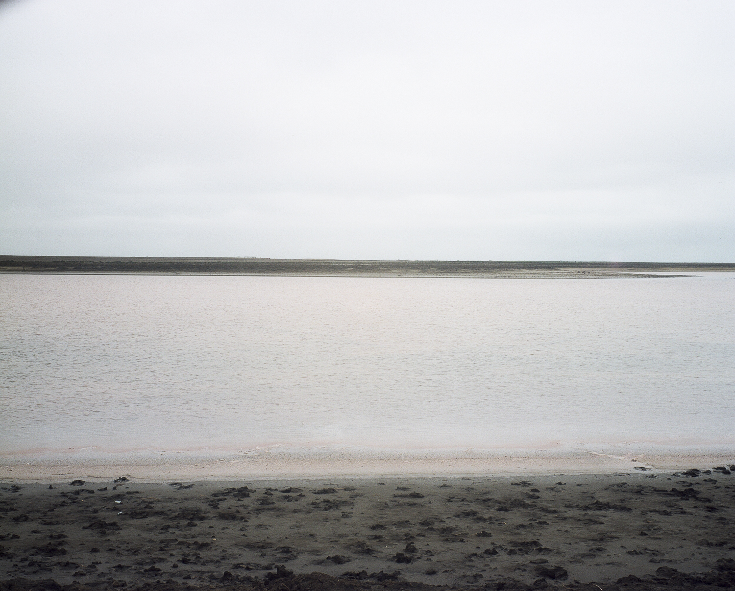
The gradual loss of farm and grazing land to rising salt is known as dryland salinity. It looks like this landscape near Lake Alexandrina:
It is true that salt is a natural feature of the Murray-Darling Basin’s landscapes and rivers as it is derived from ancient ocean sediments, the weathering of rocks and deposition by rainfall over millions of years. However, human activities such as irrigation development and land clearing often exacerbate salt mobilisation, causing it to concentrate in certain parts of the landscape and rivers.
The native Australian vegetation evolved to be salt-tolerant. Many of the woodland species, for example, have deep roots and a high demand for water. Whilst the system was in balance, the salt stayed put.
Then European farming arrived and replaced the natives with crop and pasture plants that have shorter roots and need less water, as in this farmland near Point Sturt. The inevitable happened: with every fall of rain, unused water “leaks” down to the water table, raising it, and bringing the salt up with it.

We currently don’t have farming systems that can control salinity and at the same time generate sufficient income for social and community well-being in the rural sector. We don’t yet know how to design new agricultural systems that will capture the water and nutrients in the way that natural Australian ecosystems does.

Leave a comment